|
|
|||||||||||||||||
| Point ID: 9714 | Downloads | Plots | Site Data | Code: 05116000 |
|
|
|||||||||||||||||
| Download | |
|---|---|
| Site Descriptor Information | Site Time Series Data |
| Link to all available data | |
| View: | Time Series | All |
| Units: | m3/s |
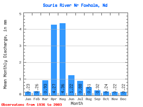
| Statistic | Jan | Feb | Mar | Apr | May | Jun | Jul | Aug | Sep | Oct | Nov | Dec | Annual |
|---|---|---|---|---|---|---|---|---|---|---|---|---|---|
| Mean | 0.08 | 0.09 | 0.32 | 1.48 | 1.50 | 0.42 | 0.30 | 0.18 | 0.11 | 0.08 | 0.08 | 0.08 | 4.77 |
| Standard Deviation | 0.12 | 0.17 | 0.60 | 2.54 | 2.81 | 0.72 | 0.59 | 0.28 | 0.16 | 0.10 | 0.10 | 0.11 | 6.46 |
| Min | 0.00 | 0.00 | 0.00 | 0.00 | 0.00 | 0.00 | 0.00 | 0.00 | 0.00 | 0.00 | 0.00 | 0.00 | 0.02 |
| Max | 0.51 | 0.94 | 3.27 | 16.29 | 13.12 | 3.40 | 3.83 | 1.36 | 1.03 | 0.45 | 0.41 | 0.44 | 34.12 |
| Coefficient of Variation | 1.55 | 1.89 | 1.88 | 1.72 | 1.87 | 1.71 | 1.94 | 1.56 | 1.41 | 1.23 | 1.38 | 1.40 | 1.36 |
 Return to R-Arctic Net Home Page