|
|
|||||||||||||||||
| Point ID: 5406 | Downloads | Plots | Site Data | Code: 05JL005 |
|
|
|||||||||||||||||
| Download | |
|---|---|
| Site Descriptor Information | Site Time Series Data |
| Link to all available data | |
| View: | Time Series | All |
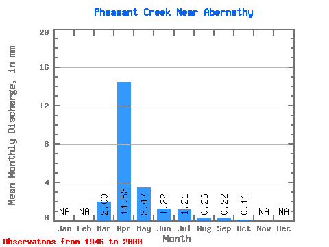
| Units: | m3/s |
| Statistic | Jan | Feb | Mar | Apr | May | Jun | Jul | Aug | Sep | Oct | Nov | Dec | Annual |
|---|---|---|---|---|---|---|---|---|---|---|---|---|---|
| Mean | 0.60 | 4.36 | 1.04 | 0.36 | 0.36 | 0.08 | 0.07 | 0.03 | |||||
| Standard Deviation | 1.09 | 5.28 | 3.24 | 1.03 | 1.40 | 0.27 | 0.43 | 0.21 | |||||
| Min | 0.00 | 0.00 | 0.00 | 0.00 | 0.00 | 0.00 | 0.00 | 0.00 | |||||
| Max | 5.08 | 22.77 | 21.75 | 6.22 | 9.04 | 1.29 | 3.22 | 1.59 | |||||
| Coefficient of Variation | 1.82 | 1.21 | 3.12 | 2.83 | 3.85 | 3.46 | 6.71 | 6.62 |
 Return to R-Arctic Net Home Page