|
|
|||||||||||||||||
| Point ID: 5398 | Downloads | Plots | Site Data | Code: 05JK002 |
|
|
|||||||||||||||||
| Download | |
|---|---|
| Site Descriptor Information | Site Time Series Data |
| Link to all available data | |
| View: | Time Series | All |
| Units: | m3/s |
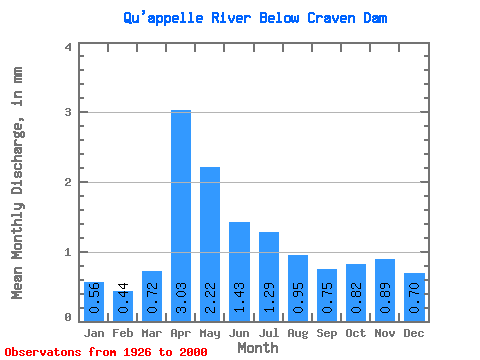
| Statistic | Jan | Feb | Mar | Apr | May | Jun | Jul | Aug | Sep | Oct | Nov | Dec | Annual |
|---|---|---|---|---|---|---|---|---|---|---|---|---|---|
| Mean | 0.18 | 0.14 | 0.23 | 0.96 | 0.70 | 0.45 | 0.41 | 0.30 | 0.24 | 0.26 | 0.28 | 0.22 | 4.96 |
| Standard Deviation | 0.16 | 0.12 | 0.32 | 1.21 | 0.99 | 0.69 | 0.58 | 0.43 | 0.34 | 0.31 | 0.27 | 0.19 | 5.04 |
| Min | 0.00 | 0.00 | 0.00 | 0.01 | 0.00 | 0.00 | 0.00 | 0.00 | 0.00 | 0.00 | 0.00 | 0.00 | 0.28 |
| Max | 0.64 | 0.44 | 1.91 | 4.76 | 4.00 | 2.91 | 2.47 | 1.89 | 1.54 | 1.22 | 1.10 | 0.85 | 19.78 |
| Coefficient of Variation | 0.91 | 0.89 | 1.38 | 1.26 | 1.41 | 1.51 | 1.43 | 1.44 | 1.44 | 1.21 | 0.95 | 0.88 | 1.02 |
 Return to R-Arctic Net Home Page