|
|
|||||||||||||||||
| Point ID: 5380 | Downloads | Plots | Site Data | Code: 05JG007 |
|
|
|||||||||||||||||
| Download | |
|---|---|
| Site Descriptor Information | Site Time Series Data |
| Link to all available data | |
| View: | Time Series | All |
| Units: | m3/s |
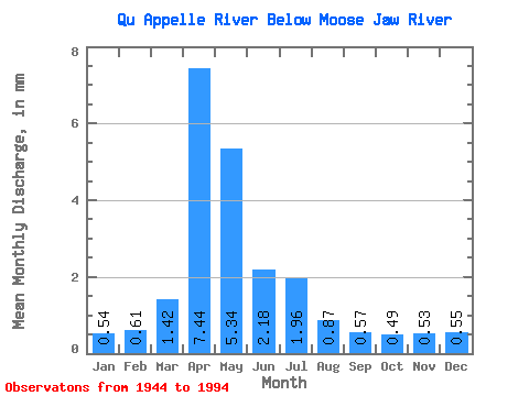
| Statistic | Jan | Feb | Mar | Apr | May | Jun | Jul | Aug | Sep | Oct | Nov | Dec | Annual |
|---|---|---|---|---|---|---|---|---|---|---|---|---|---|
| Mean | 0.20 | 0.23 | 0.53 | 2.79 | 2.00 | 0.82 | 0.73 | 0.33 | 0.21 | 0.18 | 0.20 | 0.20 | 10.46 |
| Standard Deviation | 0.20 | 0.27 | 1.23 | 3.69 | 2.75 | 1.10 | 1.12 | 0.47 | 0.29 | 0.23 | 0.14 | 0.17 | 7.27 |
| Min | 0.10 | 0.09 | 0.00 | 0.03 | 0.01 | 0.00 | 0.00 | 0.00 | 0.00 | 0.00 | 0.06 | 0.09 | 2.46 |
| Max | 1.01 | 1.06 | 8.58 | 16.61 | 13.05 | 6.52 | 6.32 | 2.66 | 1.43 | 0.83 | 0.76 | 0.82 | 35.03 |
| Coefficient of Variation | 1.01 | 1.15 | 2.32 | 1.32 | 1.38 | 1.34 | 1.52 | 1.44 | 1.34 | 1.26 | 0.68 | 0.84 | 0.69 |
 Return to R-Arctic Net Home Page