|
|
|||||||||||||||||
| Point ID: 508 | Downloads | Plots | Site Data | Code: 05EC005 |
|
|
|||||||||||||||||
| Download | |
|---|---|
| Site Descriptor Information | Site Time Series Data |
| Link to all available data | |
| View: | Time Series | All |
| Units: | m3/s |
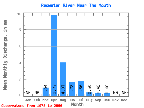
| Statistic | Jan | Feb | Mar | Apr | May | Jun | Jul | Aug | Sep | Oct | Nov | Dec | Annual |
|---|---|---|---|---|---|---|---|---|---|---|---|---|---|
| Mean | 0.75 | 7.00 | 2.92 | 1.23 | 1.33 | 0.36 | 0.30 | 0.28 | |||||
| Standard Deviation | 1.37 | 8.58 | 4.28 | 2.12 | 2.26 | 0.51 | 0.77 | 0.64 | |||||
| Min | 0.03 | 0.08 | 0.09 | 0.02 | 0.00 | 0.00 | 0.00 | 0.01 | |||||
| Max | 5.01 | 33.78 | 13.10 | 9.83 | 8.09 | 1.73 | 3.44 | 2.90 | |||||
| Coefficient of Variation | 1.84 | 1.23 | 1.47 | 1.71 | 1.70 | 1.43 | 2.56 | 2.25 |
 Return to R-Arctic Net Home Page