|
|
|||||||||||||||||
| Point ID: 282 | Downloads | Plots | Site Data | Code: 05BH003 |
|
|
|||||||||||||||||
| Download | |
|---|---|
| Site Descriptor Information | Site Time Series Data |
| Link to all available data | |
| View: | Time Series | All |
| Units: | m3/s |
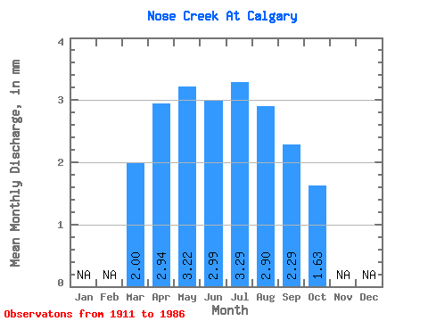
| Statistic | Jan | Feb | Mar | Apr | May | Jun | Jul | Aug | Sep | Oct | Nov | Dec | Annual |
|---|---|---|---|---|---|---|---|---|---|---|---|---|---|
| Mean | 1.67 | 2.46 | 2.69 | 2.50 | 2.75 | 2.42 | 1.91 | 1.36 | |||||
| Standard Deviation | 2.38 | 2.79 | 3.78 | 4.44 | 6.40 | 6.52 | 4.06 | 2.77 | |||||
| Min | 0.08 | 0.22 | 0.17 | 0.09 | 0.05 | 0.03 | 0.02 | 0.04 | |||||
| Max | 7.38 | 11.09 | 15.41 | 15.56 | 26.51 | 29.24 | 17.30 | 10.80 | |||||
| Coefficient of Variation | 1.43 | 1.14 | 1.41 | 1.78 | 2.33 | 2.69 | 2.12 | 2.03 |
 Return to R-Arctic Net Home Page