|
|
|||||||||||||||||
| Point ID: 9095 | Downloads | Plots | Site Data | Code: 123.20.0.1001.1 |
|
|
|||||||||||||||||
| Download | |
|---|---|
| Site Descriptor Information | Site Time Series Data |
| Link to all available data | |
| View: | Time Series | All |
| Units: | m3/s |
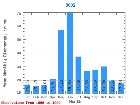
| Statistic | Jan | Feb | Mar | Apr | May | Jun | Jul | Aug | Sep | Oct | Nov | Dec | Annual |
|---|---|---|---|---|---|---|---|---|---|---|---|---|---|
| Mean | 49.77 | 46.38 | 48.25 | 61.84 | 170.15 | 207.70 | 111.41 | 79.85 | 82.28 | 89.25 | 58.31 | 52.10 | 1056.17 |
| Standard Deviation | 28.60 | 28.73 | 29.10 | 29.67 | 74.89 | 106.24 | 61.10 | 38.66 | 37.34 | 39.12 | 25.19 | 26.26 | 195.93 |
| Min | 9.55 | 5.71 | 6.93 | 8.63 | 44.71 | 53.38 | 30.55 | 17.59 | 18.84 | 21.06 | 11.82 | 11.74 | 628.55 |
| Max | 112.27 | 130.16 | 127.47 | 132.55 | 402.69 | 519.49 | 372.05 | 221.66 | 205.95 | 220.53 | 118.94 | 120.55 | 1596.54 |
| Coefficient of Variation | 0.57 | 0.62 | 0.60 | 0.48 | 0.44 | 0.51 | 0.55 | 0.48 | 0.45 | 0.44 | 0.43 | 0.50 | 0.19 |
 Return to R-Arctic Net Home Page