|
|
|||||||||||||||||
| Point ID: 805 | Downloads | Plots | Site Data | Code: 07NB006 |
|
|
|||||||||||||||||
| Download | |
|---|---|
| Site Descriptor Information | Site Time Series Data |
| Link to all available data | |
| View: | Time Series | All |
| Units: | m3/s |
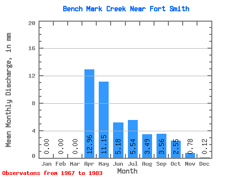
| Statistic | Jan | Feb | Mar | Apr | May | Jun | Jul | Aug | Sep | Oct | Nov | Dec | Annual |
|---|---|---|---|---|---|---|---|---|---|---|---|---|---|
| Mean | 0.01 | 0.00 | 0.00 | 8.49 | 7.31 | 3.39 | 3.63 | 2.29 | 2.34 | 1.68 | 0.52 | 0.07 | 31.13 |
| Standard Deviation | 0.02 | 0.00 | 0.01 | 5.63 | 5.21 | 4.33 | 4.45 | 2.39 | 2.07 | 1.47 | 0.42 | 0.12 | 18.29 |
| Min | 0.00 | 0.00 | 0.00 | 0.28 | 0.86 | 0.67 | 0.24 | 0.29 | 0.40 | 0.33 | 0.04 | 0.00 | 9.72 |
| Max | 0.08 | 0.00 | 0.04 | 21.37 | 19.62 | 17.69 | 15.29 | 8.91 | 7.08 | 6.09 | 1.43 | 0.41 | 63.32 |
| Coefficient of Variation | 2.70 | 3.74 | 0.66 | 0.71 | 1.28 | 1.23 | 1.04 | 0.88 | 0.87 | 0.79 | 1.74 | 0.59 |
 Return to R-Arctic Net Home Page