|
|
|||||||||||||||||
| Point ID: 7136 | Downloads | Plots | Site Data | Code: 11663 |
|
|
|||||||||||||||||
| Download | |
|---|---|
| Site Descriptor Information | Site Time Series Data |
| Link to all available data | |
| View: | Time Series | All |
| Units: | m3/s |
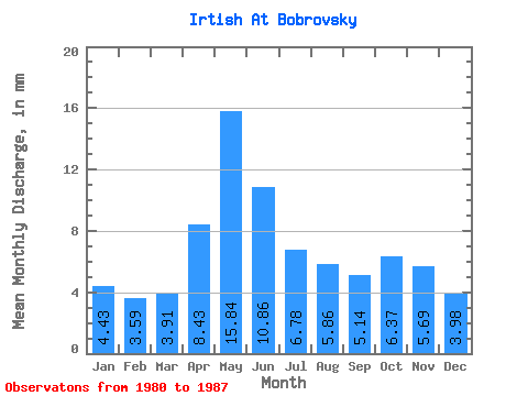
| Statistic | Jan | Feb | Mar | Apr | May | Jun | Jul | Aug | Sep | Oct | Nov | Dec | Annual |
|---|---|---|---|---|---|---|---|---|---|---|---|---|---|
| Mean | 2.00 | 1.64 | 1.77 | 3.82 | 7.17 | 4.92 | 3.07 | 2.65 | 2.33 | 2.88 | 2.58 | 1.80 | 35.09 |
| Standard Deviation | 0.70 | 0.40 | 0.44 | 1.12 | 1.21 | 0.98 | 0.67 | 0.46 | 0.42 | 0.46 | 0.42 | 0.41 | 3.76 |
| Min | 1.38 | 1.08 | 1.20 | 2.87 | 6.26 | 3.25 | 2.15 | 2.08 | 1.71 | 2.33 | 2.02 | 1.40 | 32.34 |
| Max | 3.36 | 2.31 | 2.26 | 5.05 | 8.55 | 5.82 | 3.96 | 3.21 | 2.76 | 3.42 | 3.04 | 2.31 | 39.37 |
| Coefficient of Variation | 0.35 | 0.25 | 0.25 | 0.29 | 0.17 | 0.20 | 0.22 | 0.17 | 0.18 | 0.16 | 0.16 | 0.23 | 0.11 |
 Return to R-Arctic Net Home Page