|
|
|||||||||||||||||
| Point ID: 5477 | Downloads | Plots | Site Data | Code: 05LC001 |
|
|
|||||||||||||||||
| Download | |
|---|---|
| Site Descriptor Information | Site Time Series Data |
| Link to all available data | |
| View: | Time Series | All |
| Units: | m3/s |
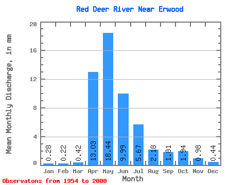
| Statistic | Jan | Feb | Mar | Apr | May | Jun | Jul | Aug | Sep | Oct | Nov | Dec | Annual |
|---|---|---|---|---|---|---|---|---|---|---|---|---|---|
| Mean | 0.22 | 0.17 | 0.33 | 10.13 | 14.33 | 7.76 | 4.40 | 1.70 | 1.41 | 1.51 | 0.76 | 0.34 | 37.51 |
| Standard Deviation | 0.13 | 0.12 | 0.34 | 7.26 | 14.15 | 10.84 | 4.65 | 2.35 | 2.56 | 1.88 | 0.52 | 0.21 | 22.64 |
| Min | 0.01 | 0.00 | 0.00 | 0.94 | 1.28 | 0.31 | 0.03 | 0.02 | 0.01 | 0.06 | 0.07 | 0.02 | 7.54 |
| Max | 0.54 | 0.49 | 1.68 | 24.74 | 56.48 | 67.86 | 19.04 | 11.73 | 16.80 | 12.42 | 2.26 | 0.88 | 83.98 |
| Coefficient of Variation | 0.60 | 0.72 | 1.02 | 0.72 | 0.99 | 1.40 | 1.06 | 1.38 | 1.82 | 1.25 | 0.68 | 0.60 | 0.60 |
 Return to R-Arctic Net Home Page