|
|
|||||||||||||||||
| Point ID: 5284 | Downloads | Plots | Site Data | Code: 05HD001 |
|
|
|||||||||||||||||
| Download | |
|---|---|
| Site Descriptor Information | Site Time Series Data |
| Link to all available data | |
| View: | Time Series | All |
| Units: | m3/s |
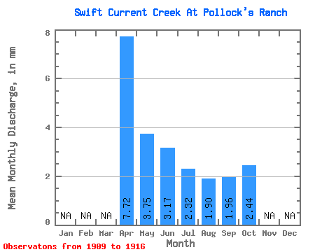
| Statistic | Jan | Feb | Mar | Apr | May | Jun | Jul | Aug | Sep | Oct | Nov | Dec | Annual |
|---|---|---|---|---|---|---|---|---|---|---|---|---|---|
| Mean | 6.07 | 2.96 | 2.49 | 1.83 | 1.49 | 1.53 | 1.91 | ||||||
| Standard Deviation | 4.39 | 1.51 | 1.54 | 1.23 | 0.41 | 0.48 | 0.56 | ||||||
| Min | 2.94 | 0.84 | 1.18 | 0.80 | 0.94 | 0.41 | 0.61 | ||||||
| Max | 12.55 | 5.06 | 5.21 | 4.31 | 2.01 | 1.81 | 2.44 | ||||||
| Coefficient of Variation | 0.72 | 0.51 | 0.62 | 0.67 | 0.28 | 0.31 | 0.29 |
 Return to R-Arctic Net Home Page