|
|
|||||||||||||||||
| Point ID: 492 | Downloads | Plots | Site Data | Code: 05EA004 |
|
|
|||||||||||||||||
| Download | |
|---|---|
| Site Descriptor Information | Site Time Series Data |
| Link to all available data | |
| View: | Time Series | All |
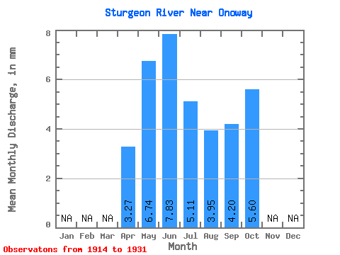
| Units: | m3/s |
| Statistic | Jan | Feb | Mar | Apr | May | Jun | Jul | Aug | Sep | Oct | Nov | Dec | Annual |
|---|---|---|---|---|---|---|---|---|---|---|---|---|---|
| Mean | 2.95 | 6.08 | 7.07 | 4.61 | 3.56 | 3.79 | 5.05 | ||||||
| Standard Deviation | 4.32 | 5.51 | 5.80 | 3.91 | 2.48 | 3.36 | 5.04 | ||||||
| Min | 0.04 | 0.03 | 0.07 | 0.05 | 0.01 | 0.00 | 0.00 | ||||||
| Max | 9.24 | 14.73 | 13.38 | 7.91 | 5.70 | 7.52 | 10.60 | ||||||
| Coefficient of Variation | 1.46 | 0.91 | 0.82 | 0.85 | 0.70 | 0.89 | 1.00 |
 Return to R-Arctic Net Home Page