|
|
|||||||||||||||||
| Point ID: 3046 | Downloads | Plots | Site Data | Code: 05OH006 |
|
|
|||||||||||||||||
| Download | |
|---|---|
| Site Descriptor Information | Site Time Series Data |
| Link to all available data | |
| View: | Time Series | All |
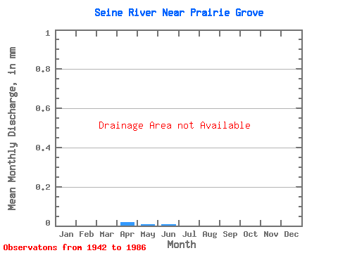
| Units: | m3/s |
| Statistic | Jan | Feb | Mar | Apr | May | Jun | Jul | Aug | Sep | Oct | Nov | Dec | Annual |
|---|---|---|---|---|---|---|---|---|---|---|---|---|---|
| Mean | |||||||||||||
| Standard Deviation | |||||||||||||
| Min | |||||||||||||
| Max | |||||||||||||
| Coefficient of Variation | 0.75 | 0.78 | 2.71 | 0.81 | 1.40 | 1.30 | 0.95 | 2.19 | 2.72 | 1.98 | 1.41 | 0.68 | 0.81 |
 Return to R-Arctic Net Home Page