|
|
|||||||||||||||||
| Point ID: 128 | Downloads | Plots | Site Data | Code: 05AE009 |
|
|
|||||||||||||||||
| Download | |
|---|---|
| Site Descriptor Information | Site Time Series Data |
| Link to all available data | |
| View: | Time Series | All |
| Units: | m3/s |
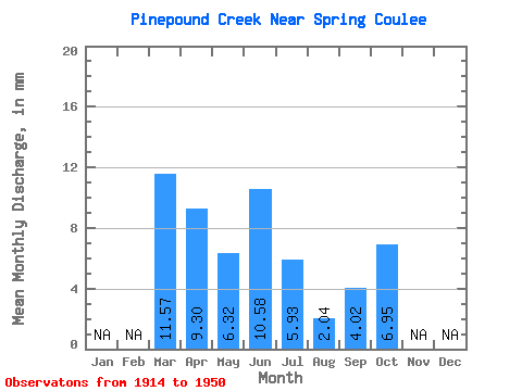
| Statistic | Jan | Feb | Mar | Apr | May | Jun | Jul | Aug | Sep | Oct | Nov | Dec | Annual |
|---|---|---|---|---|---|---|---|---|---|---|---|---|---|
| Mean | 9.66 | 7.78 | 5.28 | 8.84 | 4.96 | 1.71 | 3.36 | 5.81 | |||||
| Standard Deviation | 11.28 | 7.71 | 8.13 | 15.62 | 12.18 | 3.01 | 8.10 | 9.68 | |||||
| Min | 0.07 | 0.54 | 0.03 | 0.01 | 0.00 | 0.00 | 0.00 | 0.00 | |||||
| Max | 38.81 | 35.69 | 33.25 | 78.89 | 64.56 | 12.06 | 37.94 | 47.61 | |||||
| Coefficient of Variation | 1.17 | 0.99 | 1.54 | 1.77 | 2.46 | 1.76 | 2.41 | 1.67 |
 Return to R-Arctic Net Home Page