|
|
|||||||||||||||||
| Point ID: 8785 | Downloads | Plots | Site Data | Code: 12194 |
|
|
|||||||||||||||||
| Download | |
|---|---|
| Site Descriptor Information | Site Time Series Data |
| Link to all available data | |
|
|
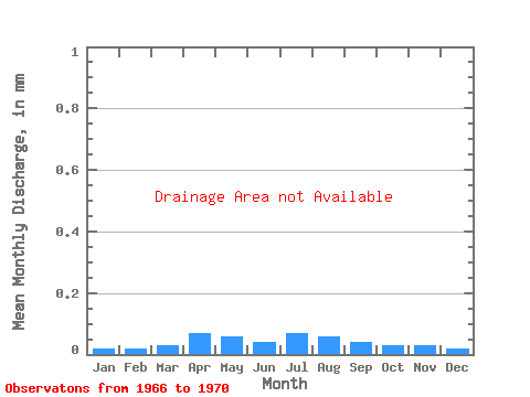
| View: | Statistics | Time Series |
| Units: | m3/s |
| Statistic | Jan | Feb | Mar | Apr | May | Jun | Jul | Aug | Sep | Oct | Nov | Dec | Annual |
|---|---|---|---|---|---|---|---|---|---|---|---|---|---|
| Mean | |||||||||||||
| Standard Deviation | |||||||||||||
| Min | |||||||||||||
| Max | |||||||||||||
| Coefficient of Variation | 0.11 | 0.09 | 0.20 | 0.75 | 0.85 | 0.32 | 0.55 | 0.29 | 0.14 | 0.17 | 0.21 | 0.07 | 0.25 |
| Year | Jan | Feb | Mar | Apr | May | Jun | Jul | Aug | Sep | Oct | Nov | Dec | Annual | 1966 | 1967 | 1968 | 1969 | 1970 |
|---|
 Return to R-Arctic Net Home Page