|
|
|||||||||||||||||
| Point ID: 8328 | Downloads | Plots | Site Data | Code: 9271 |
|
|
|||||||||||||||||
| Download | |
|---|---|
| Site Descriptor Information | Site Time Series Data |
| Link to all available data | |
|
|
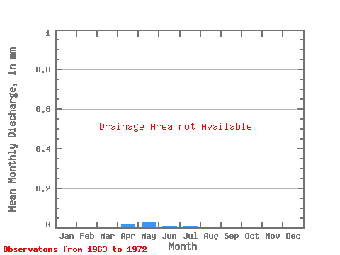
| View: | Statistics | Time Series |
| Units: | m3/s |
| Statistic | Jan | Feb | Mar | Apr | May | Jun | Jul | Aug | Sep | Oct | Nov | Dec | Annual |
|---|---|---|---|---|---|---|---|---|---|---|---|---|---|
| Mean | |||||||||||||
| Standard Deviation | |||||||||||||
| Min | |||||||||||||
| Max | |||||||||||||
| Coefficient of Variation | 0.22 | 0.08 | 1.69 | 0.59 | 0.46 | 0.57 | 0.76 | 0.62 | 0.62 | 0.81 | 0.83 | 0.38 | 0.25 |
| Year | Jan | Feb | Mar | Apr | May | Jun | Jul | Aug | Sep | Oct | Nov | Dec | Annual | 1963 | 1964 | 1966 | 1967 | 1968 | 1969 | 1970 | 1971 | 1972 |
|---|
 Return to R-Arctic Net Home Page