|
|
|||||||||||||||||
| Point ID: 8169 | Downloads | Plots | Site Data | Code: 8133 |
|
|
|||||||||||||||||
| Download | |
|---|---|
| Site Descriptor Information | Site Time Series Data |
| Link to all available data | |
|
|
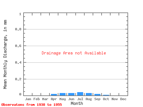
| View: | Statistics | Time Series |
| Units: | m3/s |
| Statistic | Jan | Feb | Mar | Apr | May | Jun | Jul | Aug | Sep | Oct | Nov | Dec | Annual |
|---|---|---|---|---|---|---|---|---|---|---|---|---|---|
| Mean | |||||||||||||
| Standard Deviation | |||||||||||||
| Min | |||||||||||||
| Max | |||||||||||||
| Coefficient of Variation | 0.91 | 1.15 | 0.69 | 0.59 | 0.73 | 1.17 | 0.78 | 0.93 | 0.96 | 0.82 | 0.55 | 0.56 | 0.55 |
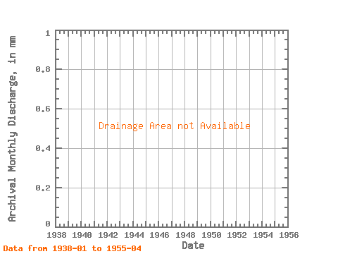
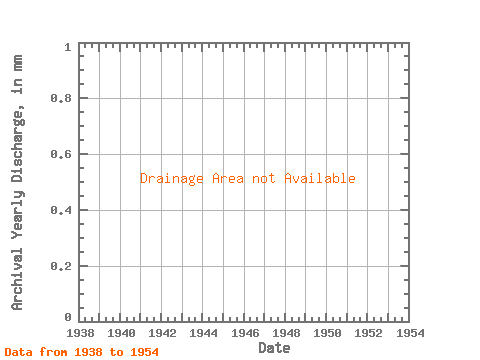
| Year | Jan | Feb | Mar | Apr | May | Jun | Jul | Aug | Sep | Oct | Nov | Dec | Annual | 1938 | 1939 | 1940 | 1941 | 1942 | 1943 | 1944 | 1945 | 1946 | 1947 | 1948 | 1949 | 1950 | 1951 | 1952 | 1953 | 1954 | 1955 |
|---|
 Return to R-Arctic Net Home Page