|
|
|||||||||||||||||
| Point ID: 134 | Downloads | Plots | Site Data | Code: 05AE016 |
|
|
|||||||||||||||||
| Download | |
|---|---|
| Site Descriptor Information | Site Time Series Data |
| Link to all available data | |
| View: | Time Series | All |
| Units: | m3/s |
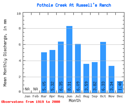
| Statistic | Jan | Feb | Mar | Apr | May | Jun | Jul | Aug | Sep | Oct | Nov | Dec | Annual |
|---|---|---|---|---|---|---|---|---|---|---|---|---|---|
| Mean | 4.80 | 5.06 | 6.04 | 7.90 | 5.79 | 3.42 | 3.64 | 6.02 | 3.18 | 1.38 | |||
| Standard Deviation | 6.62 | 4.18 | 6.43 | 11.26 | 9.56 | 6.43 | 7.16 | 10.98 | 3.39 | 1.35 | |||
| Min | 0.05 | 0.43 | 0.08 | 0.58 | 0.10 | 0.00 | 0.03 | 0.01 | 0.28 | 0.43 | |||
| Max | 30.04 | 19.14 | 35.04 | 77.22 | 73.89 | 49.26 | 54.06 | 81.17 | 12.05 | 2.34 | |||
| Coefficient of Variation | 1.38 | 0.83 | 1.07 | 1.43 | 1.65 | 1.88 | 1.97 | 1.82 | 1.06 | 0.98 |
 Return to R-Arctic Net Home Page