|
|
|||||||||||||||||
| Point ID: 9690 | Downloads | Plots | Site Data | Code: 05058000 |
|
|
|||||||||||||||||
| Download | |
|---|---|
| Site Descriptor Information | Site Time Series Data |
| Link to all available data | |
| View: | Time Series | All |
| Units: | m3/s |
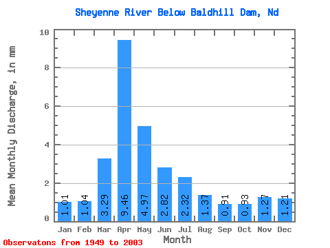
| Statistic | Jan | Feb | Mar | Apr | May | Jun | Jul | Aug | Sep | Oct | Nov | Dec | Annual |
|---|---|---|---|---|---|---|---|---|---|---|---|---|---|
| Mean | 0.26 | 0.27 | 0.84 | 2.42 | 1.27 | 0.72 | 0.59 | 0.35 | 0.23 | 0.24 | 0.32 | 0.31 | 7.86 |
| Standard Deviation | 0.19 | 0.24 | 1.27 | 2.89 | 1.96 | 0.87 | 0.85 | 0.86 | 0.39 | 0.37 | 0.37 | 0.29 | 7.03 |
| Min | 0.01 | 0.03 | 0.03 | 0.01 | 0.03 | 0.02 | 0.03 | 0.03 | 0.00 | 0.01 | 0.02 | 0.02 | 0.67 |
| Max | 0.89 | 1.07 | 6.14 | 12.63 | 11.39 | 4.38 | 4.99 | 6.10 | 2.19 | 2.44 | 2.23 | 1.47 | 24.93 |
| Coefficient of Variation | 0.74 | 0.90 | 1.51 | 1.20 | 1.54 | 1.20 | 1.44 | 2.46 | 1.68 | 1.55 | 1.14 | 0.94 | 0.89 |
 Return to R-Arctic Net Home Page