|
|
|||||||||||||||||
| Point ID: 9097 | Downloads | Plots | Site Data | Code: 124.12.0.1001.1 |
|
|
|||||||||||||||||
| Download | |
|---|---|
| Site Descriptor Information | Site Time Series Data |
| Link to all available data | |
| View: | Time Series | All |
| Units: | m3/s |
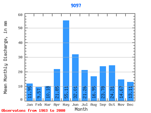
| Statistic | Jan | Feb | Mar | Apr | May | Jun | Jul | Aug | Sep | Oct | Nov | Dec | Annual |
|---|---|---|---|---|---|---|---|---|---|---|---|---|---|
| Mean | 58.20 | 47.02 | 49.55 | 106.39 | 268.34 | 155.88 | 103.52 | 82.52 | 115.82 | 118.39 | 71.46 | 63.85 | 1237.85 |
| Standard Deviation | 50.73 | 38.46 | 29.99 | 47.29 | 77.07 | 59.71 | 31.87 | 43.67 | 51.44 | 63.82 | 36.07 | 38.78 | 221.38 |
| Min | 12.14 | 8.62 | 10.75 | 23.35 | 124.80 | 48.87 | 36.99 | 18.31 | 17.62 | 32.16 | 22.99 | 15.87 | 830.72 |
| Max | 223.04 | 188.36 | 118.96 | 193.46 | 481.25 | 308.30 | 172.51 | 182.19 | 235.75 | 293.30 | 155.09 | 211.78 | 1672.49 |
| Coefficient of Variation | 0.87 | 0.82 | 0.61 | 0.44 | 0.29 | 0.38 | 0.31 | 0.53 | 0.44 | 0.54 | 0.50 | 0.61 | 0.18 |
 Return to R-Arctic Net Home Page