|
|
|||||||||||||||||
| Point ID: 8702 | Downloads | Plots | Site Data | Code: 11634 |
|
|
|||||||||||||||||
| Download | |
|---|---|
| Site Descriptor Information | Site Time Series Data |
| Link to all available data | |
| View: | Time Series | All |
| Units: | m3/s |
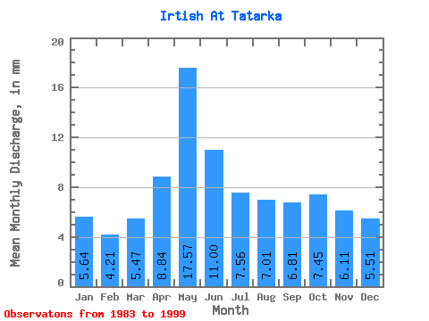
| Statistic | Jan | Feb | Mar | Apr | May | Jun | Jul | Aug | Sep | Oct | Nov | Dec | Annual |
|---|---|---|---|---|---|---|---|---|---|---|---|---|---|
| Mean | 2.38 | 1.79 | 2.30 | 3.72 | 7.40 | 4.63 | 3.18 | 2.95 | 2.87 | 3.14 | 2.57 | 2.32 | 40.32 |
| Standard Deviation | 0.43 | 0.89 | 0.61 | 1.02 | 0.92 | 0.98 | 0.44 | 0.52 | 0.48 | 0.41 | 0.52 | 0.52 | 4.78 |
| Min | 1.62 | 0.19 | 1.06 | 2.30 | 5.08 | 3.04 | 2.56 | 2.11 | 2.08 | 2.21 | 1.83 | 1.30 | 32.82 |
| Max | 3.12 | 2.92 | 3.42 | 5.74 | 8.72 | 6.39 | 3.96 | 4.01 | 3.59 | 3.79 | 3.97 | 3.20 | 47.98 |
| Coefficient of Variation | 0.18 | 0.49 | 0.27 | 0.27 | 0.12 | 0.21 | 0.14 | 0.17 | 0.17 | 0.13 | 0.20 | 0.23 | 0.12 |
 Return to R-Arctic Net Home Page