|
|
|||||||||||||||||
| Point ID: 6953 | Downloads | Plots | Site Data | Code: 11058 |
|
|
|||||||||||||||||
| Download | |
|---|---|
| Site Descriptor Information | Site Time Series Data |
| Link to all available data | |
| View: | Time Series | All |
| Units: | m3/s |
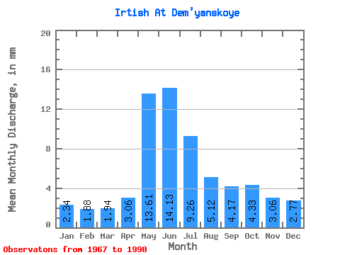
| Statistic | Jan | Feb | Mar | Apr | May | Jun | Jul | Aug | Sep | Oct | Nov | Dec | Annual |
|---|---|---|---|---|---|---|---|---|---|---|---|---|---|
| Mean | 1.53 | 1.24 | 1.27 | 2.01 | 8.93 | 9.27 | 6.08 | 3.36 | 2.74 | 2.84 | 2.01 | 1.82 | 42.79 |
| Standard Deviation | 0.34 | 0.23 | 0.20 | 0.55 | 2.31 | 2.94 | 2.68 | 1.50 | 1.17 | 1.16 | 0.76 | 0.59 | 11.64 |
| Min | 1.11 | 0.90 | 0.94 | 1.27 | 4.69 | 3.95 | 2.49 | 1.93 | 1.42 | 1.47 | 1.09 | 1.19 | 26.87 |
| Max | 2.08 | 1.73 | 1.61 | 3.10 | 12.76 | 14.93 | 10.66 | 6.55 | 5.04 | 5.22 | 3.40 | 2.87 | 60.99 |
| Coefficient of Variation | 0.22 | 0.18 | 0.15 | 0.28 | 0.26 | 0.32 | 0.44 | 0.45 | 0.43 | 0.41 | 0.38 | 0.32 | 0.27 |
 Return to R-Arctic Net Home Page