|
|
|||||||||||||||||
| Point ID: 5610 | Downloads | Plots | Site Data | Code: 07LC002 |
|
|
|||||||||||||||||
| Download | |
|---|---|
| Site Descriptor Information | Site Time Series Data |
| Link to all available data | |
| View: | Time Series | All |
| Units: | m3/s |
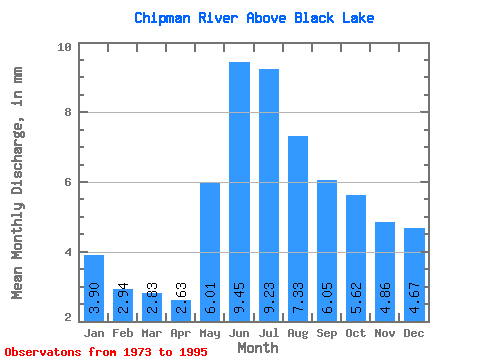
| Statistic | Jan | Feb | Mar | Apr | May | Jun | Jul | Aug | Sep | Oct | Nov | Dec | Annual |
|---|---|---|---|---|---|---|---|---|---|---|---|---|---|
| Mean | 3.63 | 2.76 | 2.64 | 2.45 | 5.60 | 8.80 | 8.60 | 6.83 | 5.63 | 5.24 | 4.53 | 4.35 | 61.73 |
| Standard Deviation | 1.29 | 0.84 | 0.69 | 0.60 | 2.60 | 3.17 | 3.00 | 2.47 | 2.46 | 2.45 | 2.23 | 1.77 | 17.19 |
| Min | 1.94 | 1.62 | 1.68 | 1.60 | 2.30 | 4.18 | 4.96 | 3.74 | 2.47 | 2.34 | 1.86 | 2.05 | 31.83 |
| Max | 6.35 | 4.71 | 4.23 | 3.59 | 11.19 | 13.43 | 16.73 | 14.29 | 12.68 | 11.40 | 9.97 | 7.86 | 100.32 |
| Coefficient of Variation | 0.35 | 0.30 | 0.26 | 0.24 | 0.46 | 0.36 | 0.35 | 0.36 | 0.44 | 0.47 | 0.49 | 0.41 | 0.28 |
 Return to R-Arctic Net Home Page