|
|
|||||||||||||||||
| Point ID: 5592 | Downloads | Plots | Site Data | Code: 06CD002 |
|
|
|||||||||||||||||
| Download | |
|---|---|
| Site Descriptor Information | Site Time Series Data |
| Link to all available data | |
| View: | Time Series | All |
| Units: | m3/s |
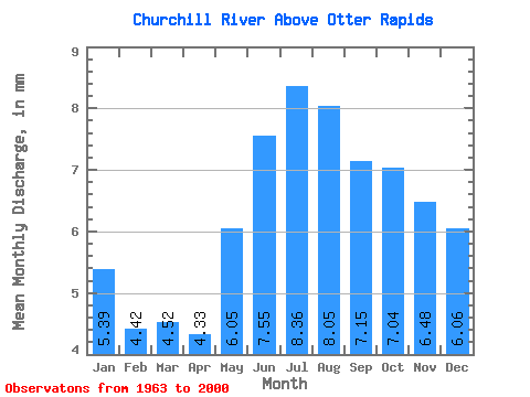
| Statistic | Jan | Feb | Mar | Apr | May | Jun | Jul | Aug | Sep | Oct | Nov | Dec | Annual |
|---|---|---|---|---|---|---|---|---|---|---|---|---|---|
| Mean | 5.07 | 4.20 | 4.26 | 4.08 | 5.70 | 7.11 | 7.86 | 7.58 | 6.73 | 6.63 | 6.10 | 5.70 | 70.93 |
| Standard Deviation | 2.38 | 1.87 | 1.83 | 1.67 | 2.32 | 2.79 | 3.33 | 3.54 | 3.17 | 3.14 | 2.96 | 2.71 | 27.91 |
| Min | 2.14 | 1.89 | 1.90 | 1.79 | 1.92 | 1.66 | 1.68 | 1.81 | 2.15 | 2.27 | 2.31 | 2.32 | 24.25 |
| Max | 10.62 | 8.63 | 8.33 | 8.06 | 14.00 | 17.21 | 19.44 | 19.87 | 16.58 | 15.51 | 13.16 | 11.79 | 161.76 |
| Coefficient of Variation | 0.47 | 0.45 | 0.43 | 0.41 | 0.41 | 0.39 | 0.42 | 0.47 | 0.47 | 0.47 | 0.48 | 0.48 | 0.39 |
 Return to R-Arctic Net Home Page