|
|
|||||||||||||||||
| Point ID: 5483 | Downloads | Plots | Site Data | Code: 05MA008 |
|
|
|||||||||||||||||
| Download | |
|---|---|
| Site Descriptor Information | Site Time Series Data |
| Link to all available data | |
| View: | Time Series | All |
| Units: | m3/s |
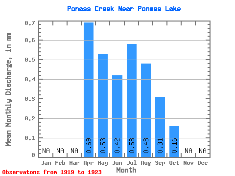
| Statistic | Jan | Feb | Mar | Apr | May | Jun | Jul | Aug | Sep | Oct | Nov | Dec | Annual |
|---|---|---|---|---|---|---|---|---|---|---|---|---|---|
| Mean | 0.32 | 0.24 | 0.20 | 0.26 | 0.23 | 0.14 | 0.07 | ||||||
| Standard Deviation | 0.43 | 0.40 | 0.27 | 0.26 | 0.23 | 0.13 | 0.09 | ||||||
| Min | 0.00 | 0.00 | 0.00 | 0.00 | 0.00 | 0.00 | 0.00 | ||||||
| Max | 0.91 | 0.93 | 0.62 | 0.53 | 0.51 | 0.26 | 0.23 | ||||||
| Coefficient of Variation | 1.36 | 1.66 | 1.38 | 1.00 | 0.99 | 0.93 | 1.27 |
 Return to R-Arctic Net Home Page