|
|
|||||||||||||||||
| Point ID: 5364 | Downloads | Plots | Site Data | Code: 05JF001 |
|
|
|||||||||||||||||
| Download | |
|---|---|
| Site Descriptor Information | Site Time Series Data |
| Link to all available data | |
| View: | Time Series | All |
| Units: | m3/s |
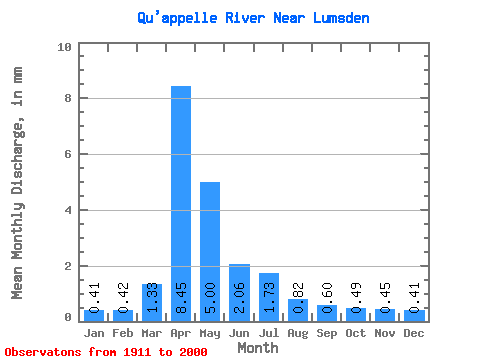
| Statistic | Jan | Feb | Mar | Apr | May | Jun | Jul | Aug | Sep | Oct | Nov | Dec | Annual |
|---|---|---|---|---|---|---|---|---|---|---|---|---|---|
| Mean | 0.16 | 0.17 | 0.53 | 3.36 | 1.98 | 0.82 | 0.69 | 0.33 | 0.24 | 0.20 | 0.18 | 0.16 | 10.50 |
| Standard Deviation | 0.15 | 0.19 | 0.89 | 4.33 | 2.75 | 0.86 | 0.88 | 0.37 | 0.23 | 0.17 | 0.11 | 0.12 | 8.33 |
| Min | 0.00 | 0.00 | 0.00 | 0.04 | 0.05 | 0.03 | 0.02 | 0.00 | 0.01 | 0.01 | 0.01 | 0.00 | 0.24 |
| Max | 0.77 | 0.90 | 6.69 | 18.81 | 14.51 | 3.75 | 4.53 | 2.34 | 1.17 | 0.75 | 0.60 | 0.62 | 39.51 |
| Coefficient of Variation | 0.90 | 1.10 | 1.68 | 1.29 | 1.39 | 1.05 | 1.28 | 1.15 | 0.97 | 0.89 | 0.62 | 0.75 | 0.79 |
 Return to R-Arctic Net Home Page