|
|
|||||||||||||||||
| Point ID: 391 | Downloads | Plots | Site Data | Code: 05CE006 |
|
|
|||||||||||||||||
| Download | |
|---|---|
| Site Descriptor Information | Site Time Series Data |
| Link to all available data | |
| View: | Time Series | All |
| Units: | m3/s |
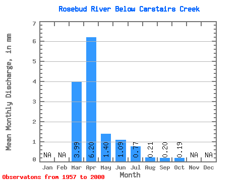
| Statistic | Jan | Feb | Mar | Apr | May | Jun | Jul | Aug | Sep | Oct | Nov | Dec | Annual |
|---|---|---|---|---|---|---|---|---|---|---|---|---|---|
| Mean | 3.51 | 5.47 | 1.24 | 0.96 | 0.68 | 0.18 | 0.18 | 0.17 | |||||
| Standard Deviation | 5.25 | 9.61 | 2.04 | 1.70 | 1.03 | 0.33 | 0.40 | 0.51 | |||||
| Min | 0.00 | 0.08 | 0.00 | 0.00 | 0.00 | 0.00 | 0.00 | 0.00 | |||||
| Max | 22.62 | 37.18 | 9.39 | 8.78 | 5.09 | 1.80 | 1.83 | 3.23 | |||||
| Coefficient of Variation | 1.50 | 1.76 | 1.65 | 1.76 | 1.51 | 1.80 | 2.23 | 3.06 |
 Return to R-Arctic Net Home Page