|
|
|||||||||||||||||
| Point ID: 5577 | Downloads | Plots | Site Data | Code: 06AG001 |
|
|
|||||||||||||||||
| Download | |
|---|---|
| Site Descriptor Information | Site Time Series Data |
| Link to all available data | |
| View: | Time Series | All |
| Units: | m3/s |
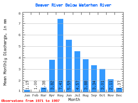
| Statistic | Jan | Feb | Mar | Apr | May | Jun | Jul | Aug | Sep | Oct | Nov | Dec | Annual |
|---|---|---|---|---|---|---|---|---|---|---|---|---|---|
| Mean | 1.02 | 0.86 | 1.18 | 3.27 | 6.36 | 4.80 | 3.92 | 3.33 | 2.87 | 2.58 | 1.81 | 1.18 | 32.15 |
| Standard Deviation | 0.70 | 0.60 | 0.72 | 1.61 | 6.25 | 4.60 | 3.31 | 2.58 | 2.07 | 1.79 | 1.61 | 0.89 | 23.07 |
| Min | 0.08 | 0.07 | 0.15 | 0.55 | 0.82 | 0.37 | 0.28 | 0.22 | 0.21 | 0.22 | 0.19 | 0.15 | 5.67 |
| Max | 2.66 | 2.40 | 3.31 | 8.76 | 32.67 | 22.29 | 12.32 | 8.75 | 8.35 | 7.44 | 8.12 | 4.31 | 113.32 |
| Coefficient of Variation | 0.68 | 0.69 | 0.61 | 0.49 | 0.98 | 0.96 | 0.84 | 0.78 | 0.72 | 0.69 | 0.89 | 0.76 | 0.72 |
 Return to R-Arctic Net Home Page