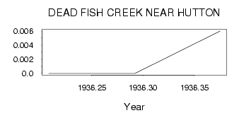
| PointID: | 414 | Code: | 05CH005 | Latitude (decimal degrees): | 51.01 | Longitude (decimal degrees): | -111.80 | Drainage Area (km2): | 268.00 | Source: | Hydat | Hydrological Zone: | Nelson | Name: | DEAD FISH CREEK NEAR HUTTON |
|---|
| Download | |
|---|---|
| Site Descriptor Information | Site Time Series Data |
| Link to all available data | |
| ID | Year | Jan | Feb | Mar | Apr | May | Jun | Jul | Aug | Sep | Oct | Nov | Dec |
|---|---|---|---|---|---|---|---|---|---|---|---|---|---|
| 414 | 1936 | 0.00 | 0.00 | 6.0e-03 |
 Return to R-Arctic Net Home Page