|
|
|||||||||||||||||
| Point ID: 9094 | Downloads | Plots | Site Data | Code: 122.9.0.1001.1 |
|
|
|||||||||||||||||
| Download | |
|---|---|
| Site Descriptor Information | Site Time Series Data |
| Link to all available data | |
| View: | Time Series | All |
| Units: | m3/s |
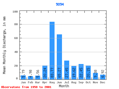
| Statistic | Jan | Feb | Mar | Apr | May | Jun | Jul | Aug | Sep | Oct | Nov | Dec | Annual |
|---|---|---|---|---|---|---|---|---|---|---|---|---|---|
| Mean | 17.06 | 14.82 | 16.39 | 59.68 | 246.91 | 192.40 | 80.90 | 57.83 | 66.18 | 59.40 | 27.65 | 20.40 | 852.72 |
| Standard Deviation | 17.02 | 8.99 | 10.09 | 33.81 | 75.23 | 83.37 | 31.77 | 37.06 | 43.81 | 24.92 | 12.79 | 10.91 | 157.14 |
| Min | 3.65 | 3.02 | 3.83 | 18.53 | 123.31 | 73.86 | 30.93 | 13.53 | 13.02 | 13.31 | 9.68 | 4.74 | 526.40 |
| Max | 80.85 | 42.47 | 44.09 | 137.57 | 466.35 | 413.09 | 168.97 | 149.03 | 174.48 | 110.29 | 57.56 | 49.91 | 1179.03 |
| Coefficient of Variation | 1.00 | 0.61 | 0.62 | 0.57 | 0.30 | 0.43 | 0.39 | 0.64 | 0.66 | 0.42 | 0.46 | 0.53 | 0.18 |
 Return to R-Arctic Net Home Page