|
|
|||||||||||||||||
| Point ID: 7163 | Downloads | Plots | Site Data | Code: 12048 |
|
|
|||||||||||||||||
| Download | |
|---|---|
| Site Descriptor Information | Site Time Series Data |
| Link to all available data | |
| View: | Time Series | All |
| Units: | m3/s |
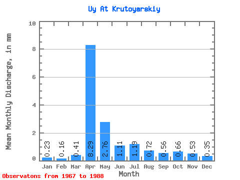
| Statistic | Jan | Feb | Mar | Apr | May | Jun | Jul | Aug | Sep | Oct | Nov | Dec | Annual |
|---|---|---|---|---|---|---|---|---|---|---|---|---|---|
| Mean | 0.18 | 0.12 | 0.32 | 6.35 | 2.11 | 0.85 | 0.91 | 0.55 | 0.43 | 0.51 | 0.41 | 0.27 | 13.09 |
| Standard Deviation | 0.13 | 0.10 | 0.45 | 5.21 | 1.63 | 0.56 | 1.33 | 0.48 | 0.32 | 0.40 | 0.26 | 0.17 | 8.52 |
| Min | 0.01 | 0.01 | 0.01 | 1.13 | 0.39 | 0.13 | 0.06 | 0.04 | 0.04 | 0.05 | 0.04 | 0.02 | 2.14 |
| Max | 0.66 | 0.52 | 1.90 | 22.69 | 6.31 | 2.16 | 6.22 | 1.69 | 1.09 | 1.88 | 1.19 | 0.75 | 36.64 |
| Coefficient of Variation | 0.73 | 0.83 | 1.42 | 0.82 | 0.77 | 0.66 | 1.46 | 0.87 | 0.74 | 0.79 | 0.64 | 0.62 | 0.65 |
 Return to R-Arctic Net Home Page