|
|
|||||||||||||||||
| Point ID: 489 | Downloads | Plots | Site Data | Code: 05EA001 |
|
|
|||||||||||||||||
| Download | |
|---|---|
| Site Descriptor Information | Site Time Series Data |
| Link to all available data | |
| View: | Time Series | All |
| Units: | m3/s |
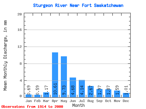
| Statistic | Jan | Feb | Mar | Apr | May | Jun | Jul | Aug | Sep | Oct | Nov | Dec | Annual |
|---|---|---|---|---|---|---|---|---|---|---|---|---|---|
| Mean | 0.51 | 0.45 | 0.87 | 7.89 | 7.23 | 3.48 | 3.08 | 1.98 | 1.46 | 1.39 | 1.18 | 0.75 | 30.25 |
| Standard Deviation | 0.43 | 0.38 | 1.19 | 6.04 | 9.07 | 4.91 | 5.44 | 3.32 | 1.91 | 1.45 | 1.02 | 0.65 | 23.95 |
| Min | 0.00 | 0.00 | 0.00 | 0.77 | 0.33 | 0.04 | 0.02 | 0.02 | 0.03 | 0.01 | 0.13 | 0.02 | 4.95 |
| Max | 1.33 | 1.20 | 5.90 | 30.25 | 48.36 | 24.14 | 25.58 | 19.75 | 9.83 | 6.49 | 3.29 | 1.98 | 68.35 |
| Coefficient of Variation | 0.84 | 0.84 | 1.36 | 0.77 | 1.25 | 1.41 | 1.77 | 1.67 | 1.31 | 1.04 | 0.87 | 0.87 | 0.79 |
 Return to R-Arctic Net Home Page